Our Solutions
Meeting the needs of every farmer
From developing an agricultural plan to treating plants, we support farmers at each step of their journey.
Reach levels of performance above current standards
In several countries of the West African sub-region, 50% of agricultural losses are linked to plant diseases. Today more than ever, it is essential to quickly identify sources of contamination on the plots in order to find adequate solutions in order to optimize production, prevent attacks and avoid production losses.
It is in this perspective that INVESTIV has designed a phytosanitary diagnostic solution by drone which aims to respond effectively to this problem.

Objectives
Drone aerial mapping has the following objectives:
Identification of disease areas
Identification of less fertile and less hydrated areas
Accuracy of fertilizer spreading and phytosanitary treatments
Rational management of water resources and inputs
Counting Shots
Estimates of potential returns
Methodology
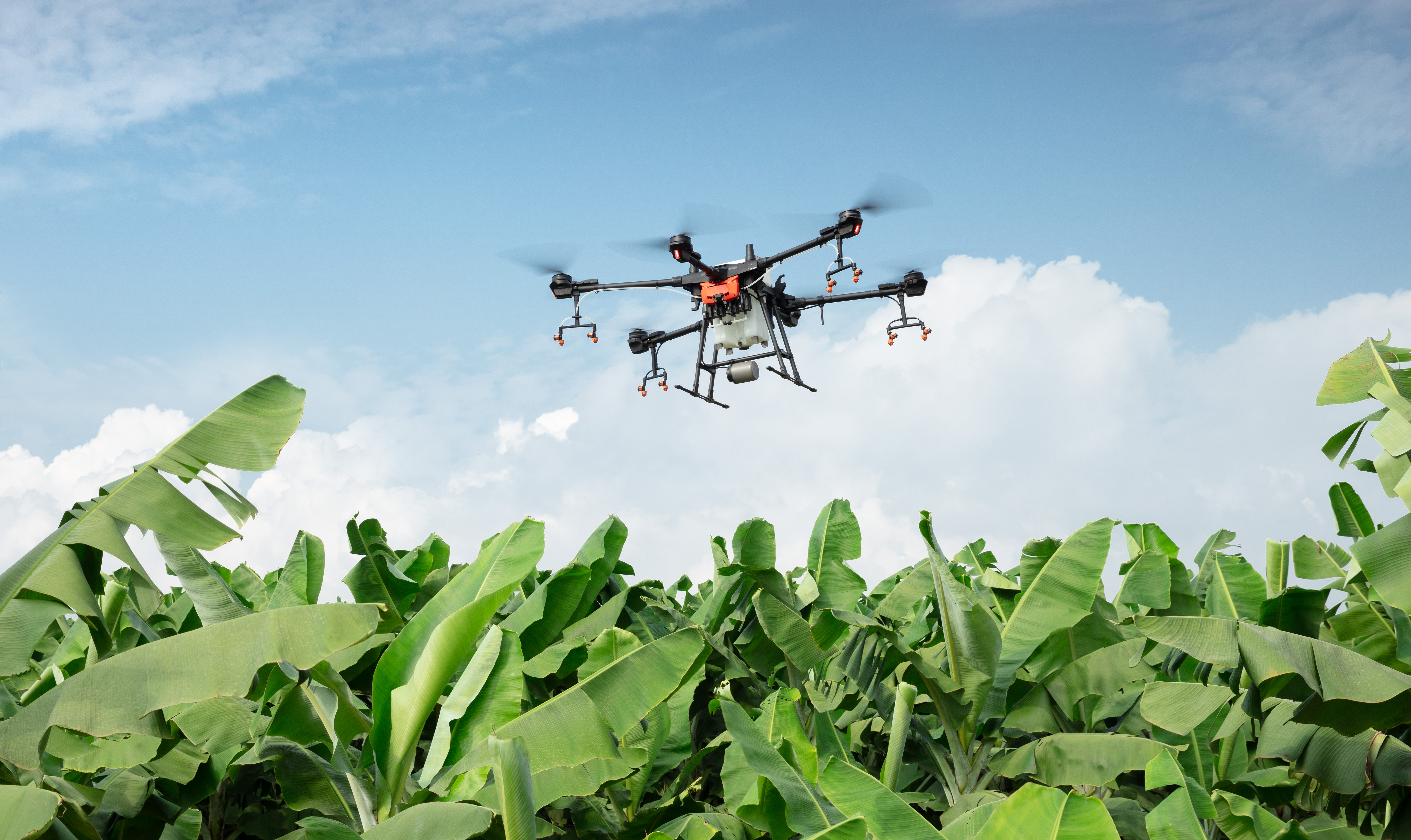
INVESTIV has drones equipped with multi-spectral sensors to quickly identify areas of disease, the least fertile and least hydrated areas on your plot. The objective is to make much more precise spreading of fertilizers and phytosanitary treatments, to manage water resources and to save inputs.
To do this, during the field activity, INVESTIV establishes with the drone a parcel flight plan in order to extract as much data as possible from the state of the parcel. These data are then processed by experts and agricultural engineers to draw up maps.
Steps
Pre-mission studies
Organization of the flight plan
Carrying out the mission in the field
Data analysis
Report delivery
Deliverables
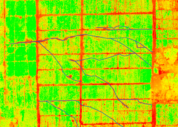
The renderings after data analysis are presented as follows:
An ortho-mosaic map of the parcel
Soil fertility map
Water stress assessment
Map of chlorophyll activity
Crop density measurement
Detection of disease zones
Counting Shots
Our Tools
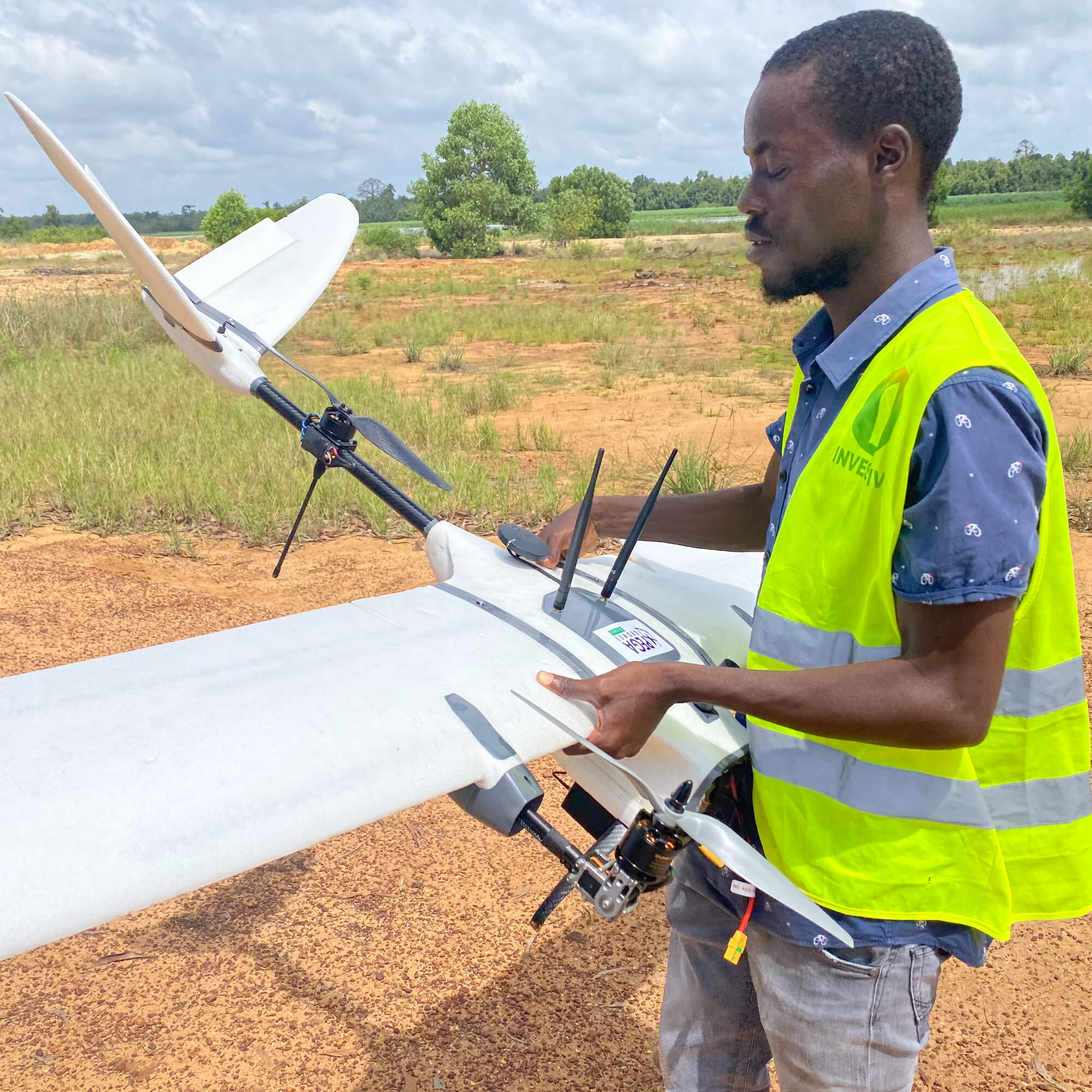
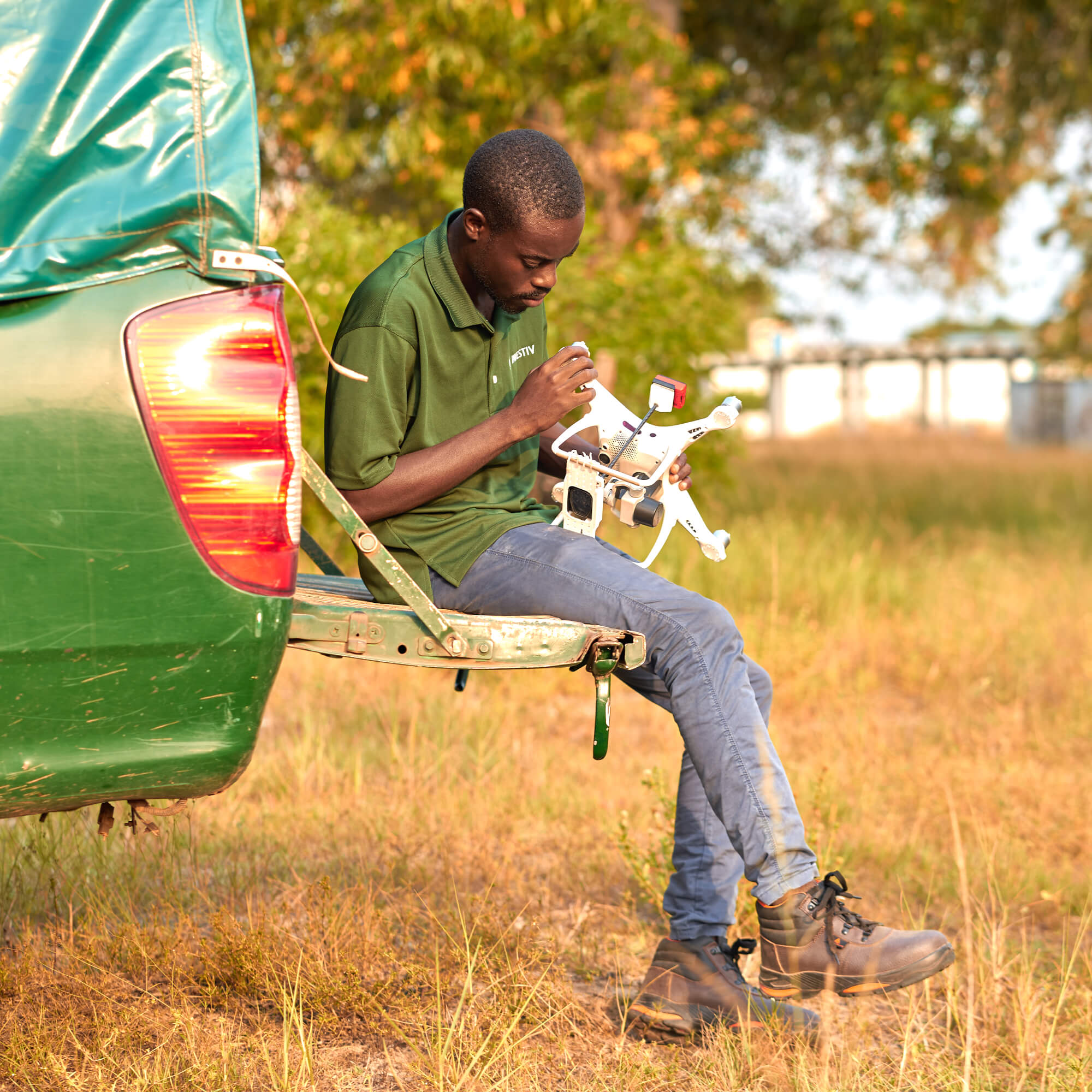
A fleet of drones and sensors adapted to your local environment
Our team works with high-tech, innovative and locally assembled tools to effectively meet the needs of our customers and partners.Ready to take your crop yields to the next level?
Contact us to take the next step in your production journey today.


