Our Services
Control the state and dimensions of your land
In the implementation of an agricultural project, it is important to have an overview of the agricultural parcel, to know exactly the boundaries of the plot and to design a future land development plan.
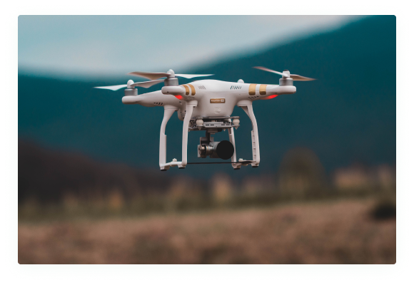
The development plan will be used as a guideline for the project and will allow to allocate portions of land to cultural vocations according to the site topography and project objectives. It is in this context that INVESTIV puts at your disposal drones capable of making aerial maps as well as contour lines of your plot. This geo-referenced and ready-to-use map is an essential element that will serve you throughout the conduct of your operation.

Objectives
Aerial drone mapping has the following objectives:
Overview and exact demarcation of the parcel
Knowledge of terrain topography from contour lines
Future plan of the parcel
Methodology
We use drones to fly over your parcel and take very high resolution images at regular intervals of time. After the field activity, we proceed to the processing of the data through our cartography software in order to have an overall map of the parcel.
Steps
- Pre-Mission Studies
- Flight plan organization
- Realization of the mission in the field
- Data analysis
- Report delivery
Livrables
The data analysis findings will be presented as follows:
An ortho-mosaic map of the parcel
Soil fertilization plan
A DEM (Digital Terrain Model) map of the parcel
A map MNT superimposed on satellite map
Plan of development of the parcel (if it takes place)
Level curve and 3D modeling (if any)